Úvodní stránka / Průvodce aplikací /

Breakfast Brief: Quiet Thursday across U.S.

9:00
4. října 2024

Breakfast Brief
'Tis the season! All kinds of weather today

All kinds of weather are happening across the U.S., from extreme heat to a taste of fall to end the week.

The WeatherRadar stays clear along the central portion of the U.S. A trough brushes the Texas Coast through the Florida Panhandle, increasing the chance for showers and isolated storms. A cold front will exit the Eastern Seaboard, bringing rains and storms from the Mid-Atlantic states through the Northeast.

On this day

In 1987, a snow storm produced up to 21 inches in North Springfield, Vermont. It was the earliest snowstorm on record. 332 people were injured in Vermont and killed 17 in Central New York. 

Strong winds will reign over the Northern Plains, increasing the fire risk. Wind gusts could range between 40 and 60 mph. A bit further southwest, the extreme heat continues across the desert, southern California and the San Joaquin Valley.

The TemperatureRadar shows cooler temperatures moving to the Midwest and Great Lakes areas. Chicago won't be freezing, but there will be a shot of cool air tonight just for one night, and then low temperatures will rise for the weekend nights.

Tropical update:

The tropics stay active, with Kirk being a strong major hurricane and Joyce gaining strength. The good news is that these two systems will remain far away from land and over water.

Closer to home, there is still a low chance for tropical development over the Gulf of Mexico over the next 7 days. The silver lining is that wind shear will be moderate to strong, which could hinder its chances of developing in the short term. Regardless of development, this system will bring tons of tropical moisture across the Peninsula of Florida which will rapidly heighten the flood risk. The ground is already well saturated and many are still recovery from Helene.

Latest update on Helene clean-upDále doporučujeme

News we are covering today:

  • Helene's clean-up continues
  • Cooler weather for the Midwest and Great Lakes
  • Record heat for the West

Did you miss these?

Autumn, is that you?Dále doporučujeme
Driving during foggy conditionsDále doporučujeme

App news & updates:

Hurricane season in the Atlantic doesn't end until Nov. 30. Are your hurricane alerts on? Check here.

Irene Sans
Více k tématu
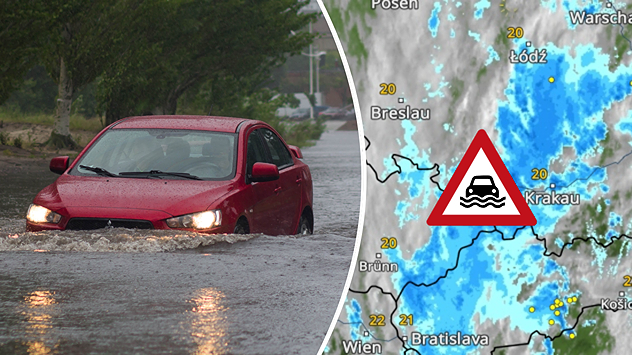
Dvoudílný obrázek: Vlevo červené auto projíždí zaplavenou ulicí, vpravo meteorologický radar s intenzivním deštěm a varováním před povodněmi pro jižní Polsko a Českou republiku.
pondělí 28. července 2025

Napršelo i přes 100 mm

Vydatný déšť zasáhl část Česka a Polska
úterý 29. července 2025

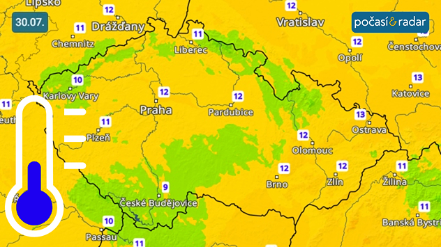
Čeká nás chladná noc

Teploty místy poklesnou pod 10 °C
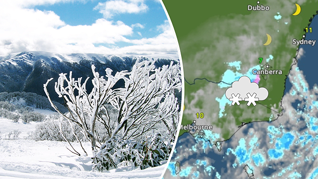
Dvoudílný obrázek: vlevo zasněžená horská krajina s jinovatkou, vpravo meteorologická mapa se symbolem sněhu a teplotami blížícími se nule v jihovýchodní Austrálii
pondělí 28. července 2025

Zimní bouře

Vydatné sněžení v Australských Alpách
Všechny zprávy o počasí
Mohlo by vás také zajímat
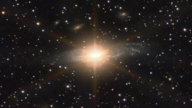
Záběr na galaxii se zářícím světlem ze supernovy.
sobota 26. července 2025

Z domova

Výbuch supernovy, pohledem z Česka
čtvrtek 10. července 2025

Cesta do vesmíru

Mléčná dráha: Detailní pohled
neděle 29. června 2025

Tepelná kupole

Do Evropy míří vlna veder
Všechny příspěvky
Počasí & Radar

www.pocasiaradar.cz

facebookinstagramtikTokKontaktlinkList
Ochrana dat | Impresum | Prohlášení o přístupnosti